
Tags:
Dataset extent
Geonetwork Links
GN_Metadata_Show
GN_Metadata_Source
Detailed informations
access_constraints
[]
bbox-east-long
12.2556
bbox-north-lat
78.9197
bbox-south-lat
78.9135
bbox-west-long
12.2197
contact-email
stefano.miserocchi@cnr.it
coupled-resource
[]
dataset-reference-date
[{"type": "creation", "value": "2024-06-04"}]
frequency-of-update
annually
graphic-preview-file
GUID
1044a3a5-6b4f-4834-a718-a47dd2d4e6e5
licence
[]
lineage
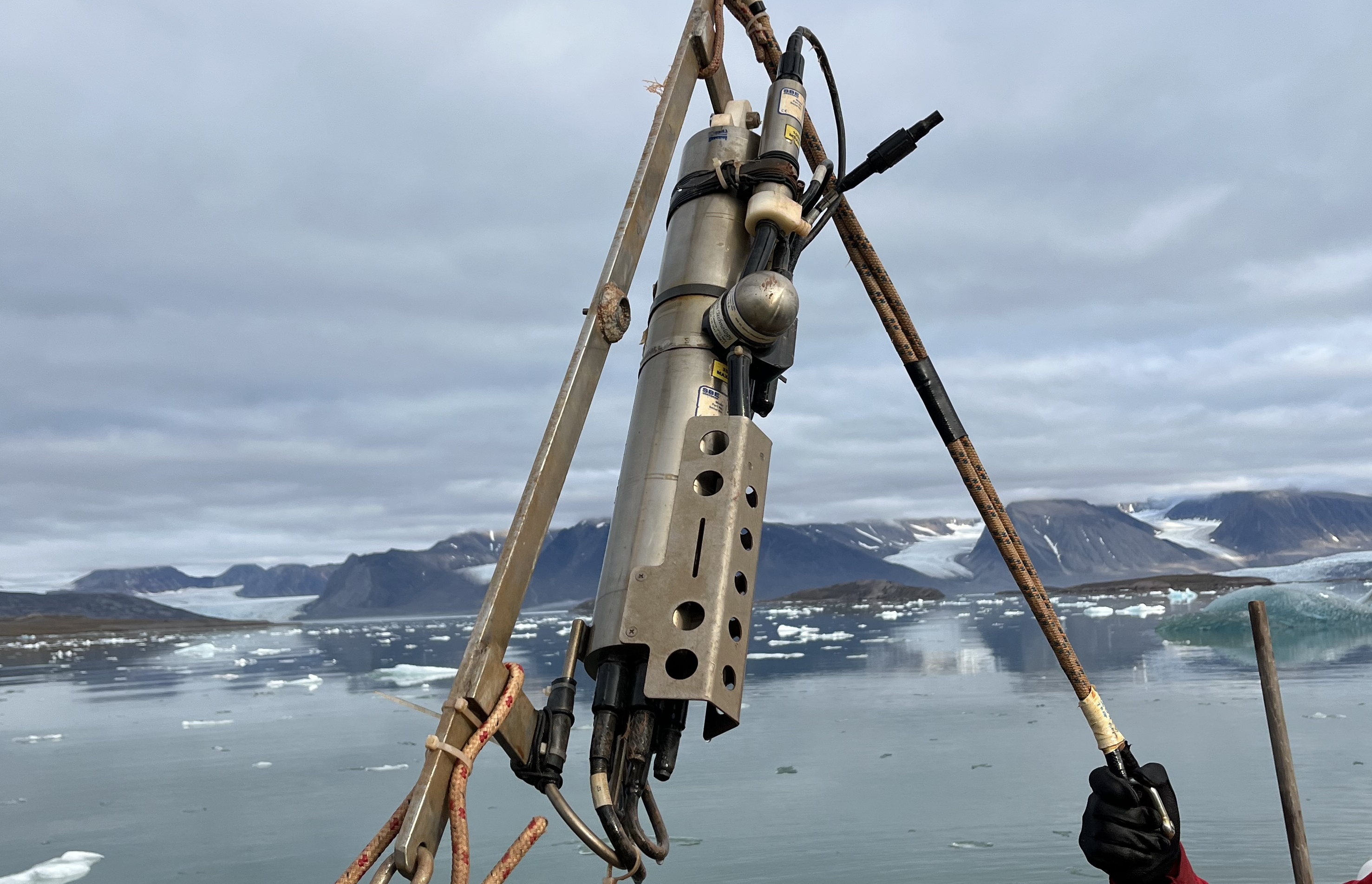
moorings activities in the Kongsfjord since 2010
metadata-date
2026-07-09T14:21:49
metadata-language
eng
point_of_contact 1
Stefano Miserocchi, stefano.miserocchi@cnr.it
point_of_contact 2
Francesco Paladini de Mendoza, francesco.paladinidemendoza@cnr.it
point_of_contact 3
Leonardo Langone, leonardo.langone@cnr.it
point_of_contact 4
Francesco Paladini de Mendoza, francesco.paladinidemendoza@cnr.it
progress
onGoing
responsible-party
[{"name": "Italian National Research Council - Institute of Polar Sciences", "roles": ["principalInvestigator", "originator", "custodian"]}]
spatial
{"type": "Polygon", "coordinates": [[[12.2197, 78.9135], [12.2556, 78.9135], [12.2556, 78.9197], [12.2197, 78.9197], [12.2197, 78.9135]]]}
spatial_harvester
true
temporal-extent-begin
2016-05-29T00:00:00Z
temporal-extent-end
2024-08-29T00:00:00Z
topic_category
oceans
Management Info
Author
Italian National Research Council - Institute of Polar Sciences,Italian National Research Council - Institute of Marine Sciences
Maintainer
Geonetwork Harvester
Last Updated
August 7, 2026, 14:54 (UTC)
Created
August 7, 2026, 14:54 (UTC)
Data and Resources
To access the resources you must log in
